KAS Software
Suppliers of map viewing and coordinate conversion software, bespoke digital maps, height data and gazetteers

KAS Software
Suppliers of map viewing and coordinate conversion software, bespoke digital maps, height data and gazetteers

The following gives information on the principal sources of map data used by KAS Software.
MapView, our free Windows map viewing program, can be used to display - in both map and 3D view - all released OS OpenData raster map data. Additionally we have developed an open specification map file format gdf which allows the creation of composite maps containing OS OpenData products for the whole of Great Britain.
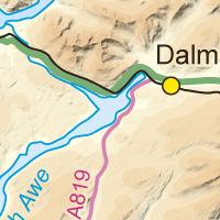
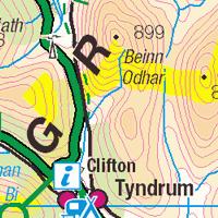
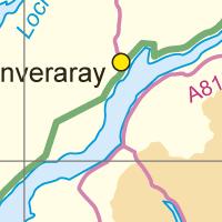
We have used this mass of OpenData™ to create our own raster & height data maps, map and postcode gazetteers. Some of these maps and gazetteers are free for download and use for any purpose consistent with the OS OpenData Licence. In particular, all four OS OpenData™ miniscale (1:1,000,000) maps, and the 1:250,000 scale colur raster map, are available for no-cost.
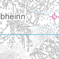
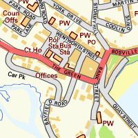
The 1:25,000 scale vector map raster (left) and the 1:10,000 street view (right) maps covering the whole of GB are available only for a fee, because they're simply, at respectively 4Gb and 16Gb, too big for free download.
However, demo versions of these maps are available.
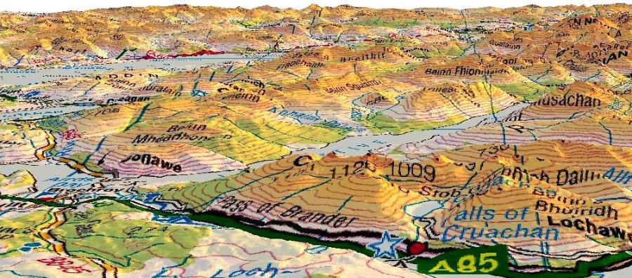
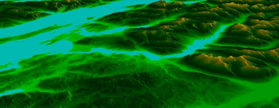
OSGB 1:250,000 scale colour raster map above, with below 50mx50m gridded height data for roughly the same area. Click on these images to download both the mapView program and the map and elevation data - all are available free of charge.
The USGS also has a novel and welcome policy of providing mapping and elevation data in a digital format at no cost from its very extensive website, with much of its data also freely available elsewhere, like topoquest for example. KAS Software has used this free data to generate composite maps of various parts of the US, which when used in combination with National Elevation Dataset (NED) height data can generate very impressive 3-D views of those parts (there's a comprehensive list of USGS links elsewhere on this site).
A free sample composite USGS geotiff 1:24,000 map covers a large portion of the Grand Canyon of the Colorado River, northern Arizona, scaled by a factor of 50%. An elevation data file for the Grand Canyon is likewise available.
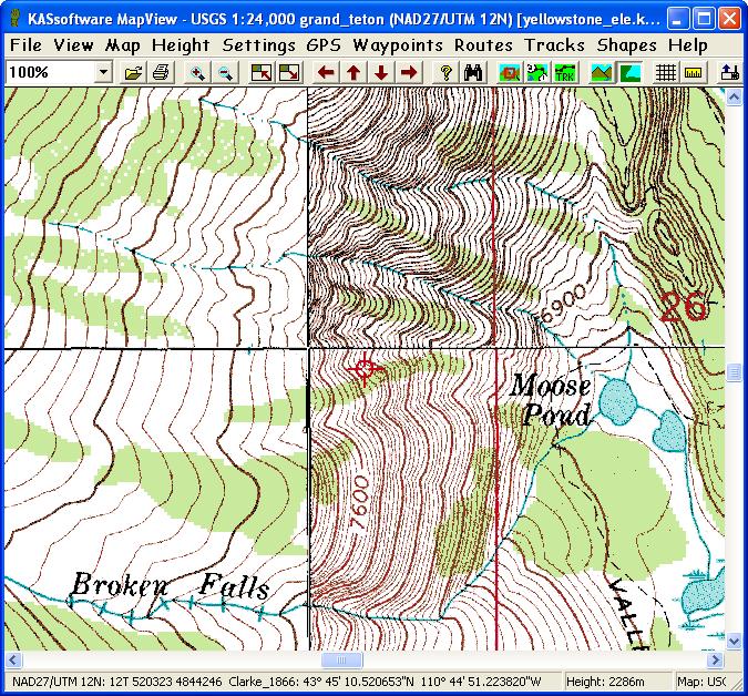
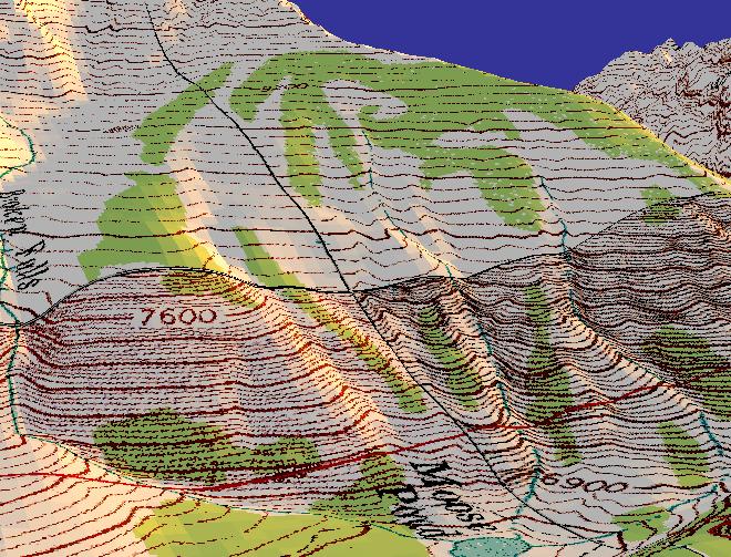
This topographical map, and the 3-D map examples shown in the banner above, all derive from 1:24,000 scale 'quads' - geotiff files covering an area of 7.5″ by 7.5″, usually georeferenced to UTM on NAD27 (the North American Datum of 1927). We've merged some of these quads to produce the composite maps referred to earlier. For example, below is a screenshot of MapView showing the join (roughly in the centre of the image) of four merged geotiffs - in this instance emphasised by the difference in contour interval between the leftmost and rightmost geotiffs - most joins are no more visually discordant than the other linear features on these maps, such as grid lines and graticules.
The 3-D view of the above ...
We currently have full 1:24,000 scale coverage for USGS quads for the states of Arizona, Colorado, Connecticut, Idaho, Maine, Montana, New Jersey, New Mexico, New York, Nevada, Oregon, Pennsylvania, Rhode Island, Utah, Washington & Wyoming. Should you be interested in purchasing these, please email info@KASsoftware.com.
We have height data for all the above states too!
The following are just a few links to various US websites where USGS geotiff quads are available for free download, any geotiff files you do download may be used in our map viewing program with neither modification nor fee:
The following USGS Geotiffs, bundled for convenience, are available for purchase:
N.B. States marked with a double asterix (**) are substantially incomplete; for all other states there may still be a handful of quad files unavailable - these missing files will generally make up less than 2% of the total for that state.
Price is dependent on the amount purchased, since generally they'll need to be supplied on external USB hard drive, the cost and capacity of which, is variable. Email for details.
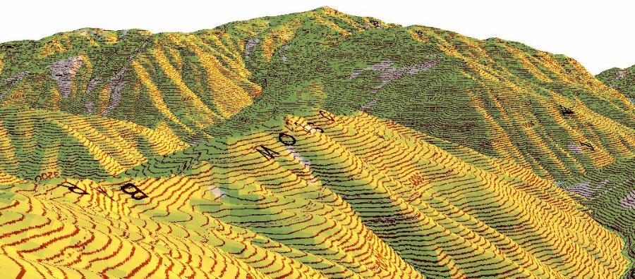
Composite maps, which are currently for use only with our own free map viewer, can be supplied for any of the areas above that have geoTIFF coverage. There are a number of sample composite USGS geotiff 1:24,000 maps available for download elsewhere on this site.
We can supply composite NED files containing USGS elevation data for most of the US, or subset thereof. Sample elevation data files covering the areas of the composite maps (above) are available for free download.
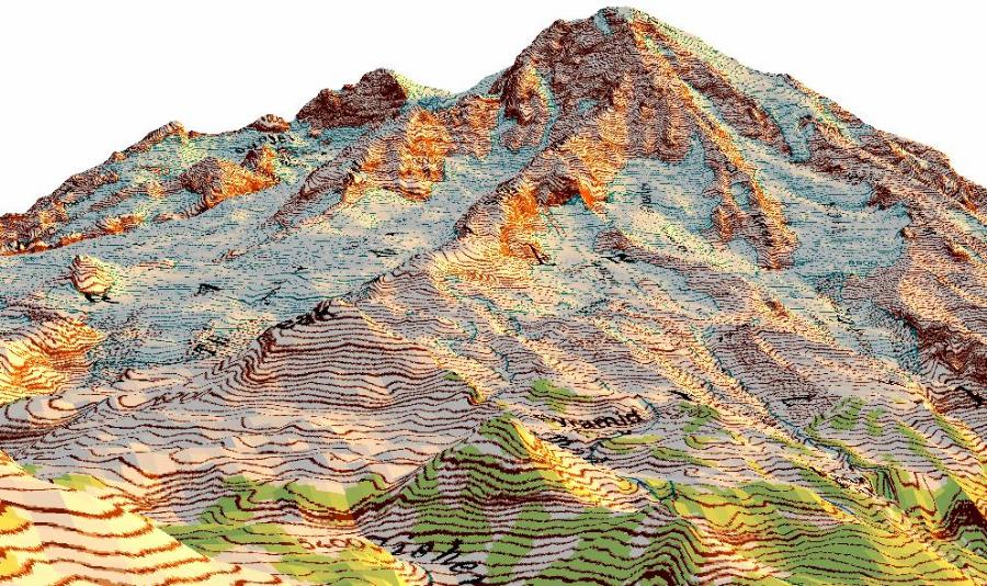
This elevation data, acronymed to NED, covers varying portions of the north & central Americas at three different resolutons; consisting of 1″, 1/3″ and 1/9″ per pixel/height value. This equates, very roughly, to one accurate pixel of elevation data respectively every 30m, 10m or 3m - which is a stunning volume of data available for free. Chapeau!
The OS have released ODN (Ordnance Datum Newlyn) height data covering the whole of Scotland, England, Wales, the Isle of Mann & outlying islands, evenly spaced at a resolution of one height value (pixel) every 50m, equating to 400 values per Km2, or, very roughly, 100,000,000 land height values over the area covered. Our .gdf file format was designed specifically to provide easy access to any given point withing this mass of data.
This is a variant on the long-used Tiff format which has been modified to contain geolocation information. The OS have released various scales of digital raster maps as geotiff files - these can all be read natively by mapView (and viewed in 3-D if you've downloaded the free GB height data).
The OS have provided gazetteer information of a variety of detail, ranging from the 1:250,000 scale colour raster map gazetteer with around 25,000 entries, the 50k scale gazetteer which contains around 250,000 entries, a the full postcode database which maps postcodes with OSGB location and cotains well over 1,000,000 entries. We've taken this data and created our own gazetteer format which integrates fully with MapView to give a fully searchable database of GB localities.